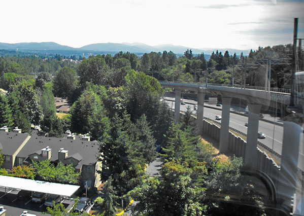
Because of the area's topography it is necessary
for the line to rise high up alongside State Route 518 as it nears
Tukwila International Blvd. At the time of this view the line
ended at that stop, but now it
continues on over that busy roadway, and then along the airport
access road to its airport terminal. That
extension added 1.7 miles to the route, bringing the total line
to 15.7 miles.
Far-off hills are visible in this view, looking generally to the east.
The Cascade Mountains lie beyond. |