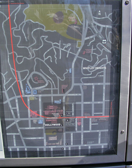
As hinted at on the previous page in this series, each
Metro station presents a detailed area map showing at large scale
individual streets and major landmarks. In this case the map is at
the Hollywood/Highland station, the last stop before the line tunnels under
the Hollywood Hills.
The subway route is shown in red. The angularity of the street
pattern above is distinctly different in the Los Angeles Basin from what it is
once the route heads under the hills. |